We climbed Mount Albutin (2,688 m) in the Northern Pirin Mountains directly from the Betolovoto area above Razlog in about 6 hours, passing through the Yavorov Hut, the Bunker Shelter, and Sukhodol Lake. Our round-trip hike at the end of October covered 19.05 km with 1,521 m of elevation gain and took a total of 11 hours and 30 minutes—including breaks, lunch at the hut, and the final hour with headlamps. Here’s how the day went and where the fog caught up with us.
Start from the parking lot in Betolovo
Betolovoto is a village in the Pirin Mountains, about 6 km from Razlog, near the golf course. We parked our cars there and at 8:40 a.m. set off on foot along the dirt road toward the Yavorov Mountain Hut.
Advertisement
It was mid-fall—up above, the beech and pine trees were still in full color, and the morning air was cold and crisp. The trail from Betolovo to the hut runs through the forest, climbing steadily without any technically challenging sections. This was our morning warm-up.
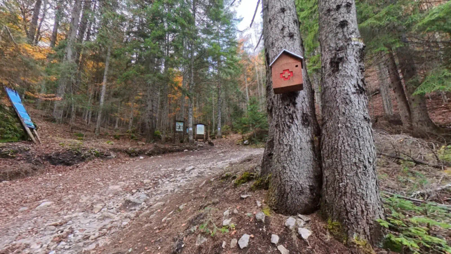
Betolovo – Yavorov Hut: 1 hour and 40 minutes
We reached the Yavorov Hut (1,740 m) at 10:20 a.m.—exactly one hour and 40 minutes. The hut is located on a meadow in the Razlozhki Suhodol valley, offering a panoramic view of the cirques above it.
We didn’t spend much time here. We knew the hardest part was still ahead, and the days are short in late October. However, we planned to stop at the hut on our way back, exhausted from the hike.
Up past the Bunker Shelter
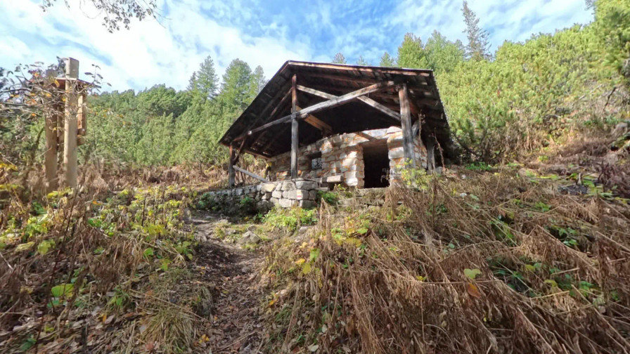
From the hut, we headed straight up along the trail markers toward the Bunker Shelter, where we arrived around 11:30 a.m. From here on, the slope became steeper; the forest zone was behind us, and we were slowly transitioning into the subalpine zone. From the area around the shelter, a view opened up to the rocky ridges across the main ridge (The Stairs/The Peaks)—the best moment of the day in terms of visibility, though we didn’t know it at the time.
Sukhodolsko Lake and the fog that obscured everything
We reached Sukhodolsko Lake at 1:20 p.m. Shortly after, fog caught up with us—thick fog, the kind where you can only see the person right in front of you. The view disappeared completely within minutes.
We debated whether to continue. The trail was clear, the weather was neither cold nor stormy, and it was less than an hour and a half—maybe two—to the summit. We decided to press on and continued upward into the fog.
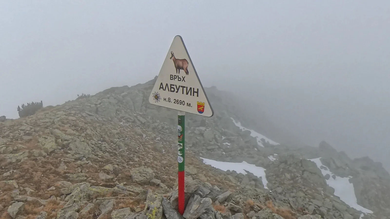
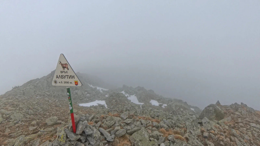
At the summit of Albutin at 2:40 p.m.: above the clouds only with the drone
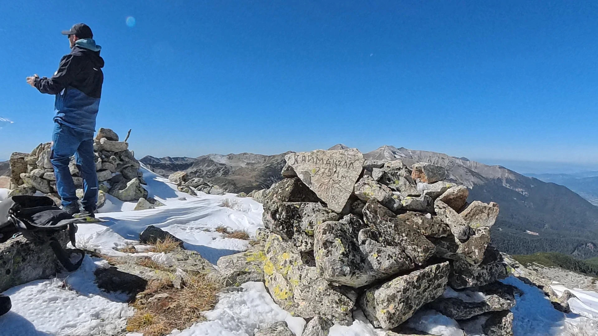
We reached the summit of Albutin at 2:40 p.m.—six hours after setting out from Betolovo. When the last member of the group reached the top, we applauded him. Above the lake, he felt severe pain in his knees, but he didn’t give up and, slowly but surely, made it to the top.
Advertisement
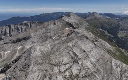
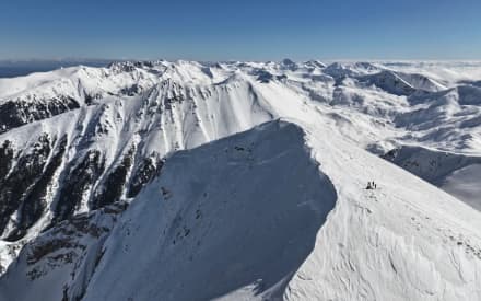
There was zero visibility at the top. We lingered there despite the fog, and Stefo launched the drone straight up. It wasn’t until the drone rose 1,000 meters above the summit and emerged above the clouds that we saw the true picture: the entire Pirin Range was covered by a thick sea of fog; even the highest peaks were invisible.
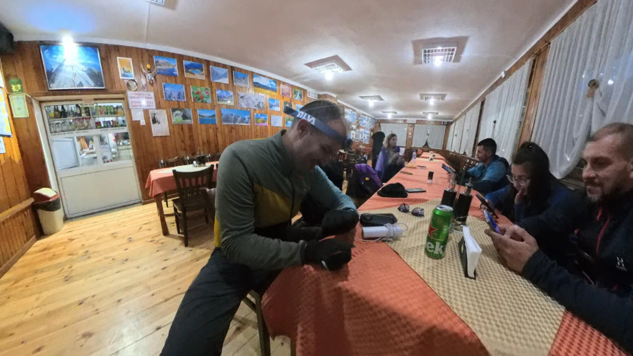
The descent to the Yavorov Hut and lunch for the whole group
We descended back along the same path, heading straight for the hut. Along the way, we men split off and hurried ahead to order food for everyone, while the girls followed behind us at their slower pace. So, by the time everyone arrived at the hut, the food was already set out on the table.
The last hour and 50 minutes: with headlamps in the dark
Shortly before 6:00 p.m., we set out from the hut toward Betolovo. That same day, the clocks had been set back an hour to standard time, and this caught us off guard more than it should have—it was already getting dark faster. We took out our headlamps. We always carry them in our backpacks because the last hour through the forest without light would have been a real problem, and besides, they don’t weigh much.
We reached the car around 8:00 p.m. The hike was long and exhausting, and with the group’s sore knees, it was even slower. But we all made it to the summit, and we all made it back down in one piece.
What You Need to Know Before Setting Out for Albutin
Distance and elevation gain: 19.05 km round trip, 1,521 m of ascent. Allow about 6 hours for the ascent and 4–5 hours for the descent, including a rest at the hut.
Timeline from our hike: Betolovoto 8:40 → Yavorov Hut 10:20 → Bunker Shelter ~11:30 → Sukhodolsko Lake 13:20 → Albutin Peak 14:40.
Headlamp: required if you’re starting from Betolovoto. If you’re spending the night at the hut, you won’t need one.
Knees: The descent from 2,688 m to about 1,100 m is long. Trekking poles help a lot, but if you know you have knee problems or have had them in the past, knee braces are a better idea.
Fog: Download the GPX track to your phone before setting out and don’t rely solely on visibility.
If you want to see the entire route in 3D before you set out, upload the GPX file to our free 3D video tool from GPX. For current park regulations, check the Pirin National Park website.
Albutin isn’t the highest peak in Pirin. We didn’t get a view this time, but we’ll be back next time on a clear day.
Advertisement